
Merritt Island NWR > February 2011
grayfox65@cox.net

Merritt Island NWR > February 2011 |
|
Michael W. Masters
grayfox65@cox.net |
| Image Thumbnails |
|
Merritt
Island NWR is a huge, spread-out affair, as the
refuge map makes clear.
One has to be prepared for a lot of driving.
The main roads, from which various wildlife loops and trails spin
off, form a triangle: the
entrance road is Route 406, which branches to Route 402, and both
eventually intersect Route 3 at the far end, near the Atlantic Ocean -- the road
that leads to the
NASA Cape Canaveral launch facility.
While we were there in February, 2011 prospects were only
average.
Black Point Wildlife Drive is probably the most popular since it
features many pools along the early part of its length.
On this trip a number of good images were obtained, but perhaps
not as many as hoped. Other less traveled paths yielded good images at
times. Bio Lab Road, which
runs along the beach, was mostly a low productivity affair, but near the end lies a
long pond lit by the morning sun.
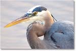
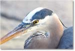
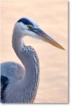
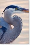
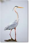
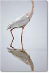
This provided some great swan and great blue heron images one
morning. As Bio Lab Road
returns to Route 3 it passes a water channel and boat launch area.
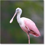
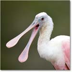
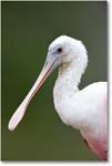
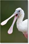
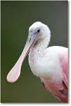
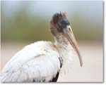
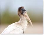
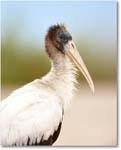
By chance one morning a roseate spoonbill and a young wood stork
posed for some excellent images -- until a vehicle came along and flushed
the wood stork away. There is a
Florida scrub jay trail off Route 3 near the beach, and we tried
several times to coax the jays from hiding, unfortunately without success. Overall, Merritt Island NWR is worth a winter
visit, although the driving involved relative to payoff can be a bit
daunting, depending on what happens to be present at time of visit. Perhaps the best
inducement to visit Merritt is the close proximity of
Viera Wetlands, AKA the South Central Regional Wastewater Treatment Plant, 30 miles
down the road and a bit north of Melbourne.
One can pick a place to stay nearby and do both for
several days without having to pack up and move repeatedly. |
 |
 |
 |
 |
 |
 |
 |
 |
 |
 |
 |
 |
 |
 |
 |
 |
 |
 |
 |
 |
 |
 |
 |
 |
 |
 |
 |
 |
 |
 |